


lpp

titim
User
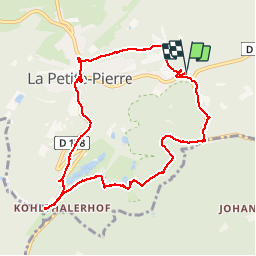

Length
9.6 km

Max alt
373 m

Uphill gradient
236 m
Km-Effort
12.8 km

Min alt
215 m

Downhill gradient
236 m
Boucle
Yes
Creation date :
2014-12-10 00:00:00.0
Updated on :
2014-12-10 00:00:00.0
3h11
Difficulty : Unknown

FREE GPS app for hiking
 SityTrail
IGN / Geographical institutes
SityTrail Plus
The world is yours!
About
Trail Walking of 9.6 km to be discovered at Grand Est, Bas-Rhin, La Petite-Pierre. This trail is proposed by titim.
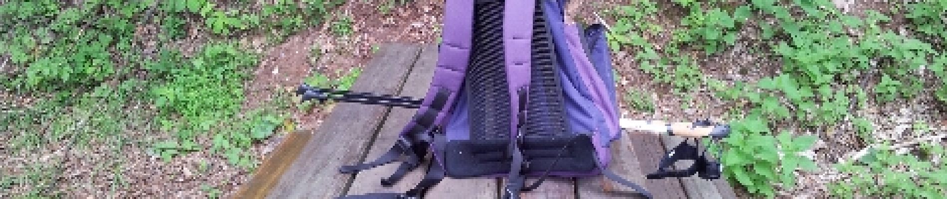
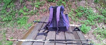
Photos


Positioning
Country:
France
Region :
Grand Est
Department/Province :
Bas-Rhin
Municipality :
La Petite-Pierre
Location:
Unknown
Start:(Dec)
Start:(UTM)
378160 ; 5413036 (32U) N.
Comments